ClioSport.net

Register a free account today to become a member!
Once signed in, you'll be able to participate on this site by adding your own topics and posts, as well as connect with other members through your own private inbox!

  • When you purchase through links on our site, we may earn an affiliate commission. Read more here.

360 Aerial Tours (panorama photos)


Andy_con

ClioSport Club Member
  clio 182
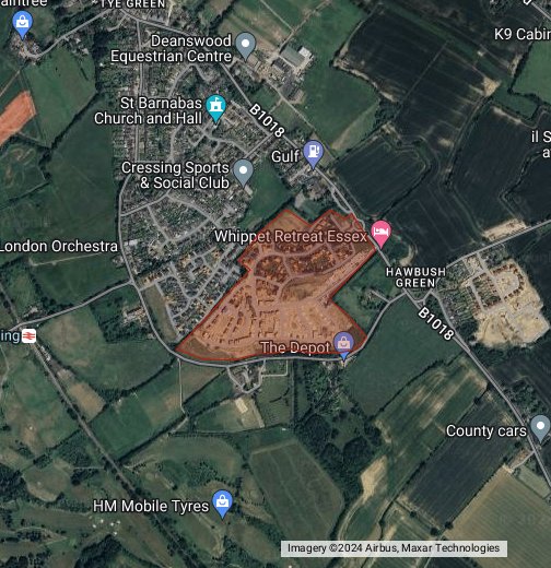
i currently use a mixture of google maps to draw a site on -


and roundme to create aerial tours -


what i cant find is anyone offering this all in one place, you cant even do it on google it appears.

anyone have any suggestions?
 

botfch

ClioSport Club Member
  Clio 182
I want to be able to create an aerial tour, plus draw on a map a site boundary, access location etc...

All in one place

It's for developers

Ah no there’s nothing commercial available I know of yet that will allow you to do that.
A few companies offer it as bespoke solutions Visivi by rsk orbital for example but they don’t license it out for other businesses just clients.
 

Andy_con

ClioSport Club Member
  clio 182
Ah no there’s nothing commercial available I know of yet that will allow you to do that.
A few companies offer it as bespoke solutions Visivi by rsk orbital for example but they don’t license it out for other businesses just clients.
Shame, seems a big gap in the market.
 

Andy_con

ClioSport Club Member
  clio 182
Ah no there’s nothing commercial available I know of yet that will allow you to do that.
A few companies offer it as bespoke solutions Visivi by rsk orbital for example but they don’t license it out for other businesses just clients.
i tried editing the actual photo, but hasnt come out well LOL


Top