

SharkyUK
ClioSport Club Member
Here is the finalised version of the video I already posted (so you don't really need to see it again!)  I just tarted it up with an intro and some captions. More professional, innit. Debatable.
A few more updates on "Project: OPFRAME"...
I have refined the UI (and will continue to do so as more features are added). For example, "Layers" are now available. This means that symbols, overlays, etc. can be placed on different layers on top of the map/terrain and be enabled or disabled, or their rendering order changed. The rendering system implemented this layered behaviour already but I hadn't wired it through to the UI.
There is also a full search and filter capability for entities now, too; although this is not shown in any of the screenshots.
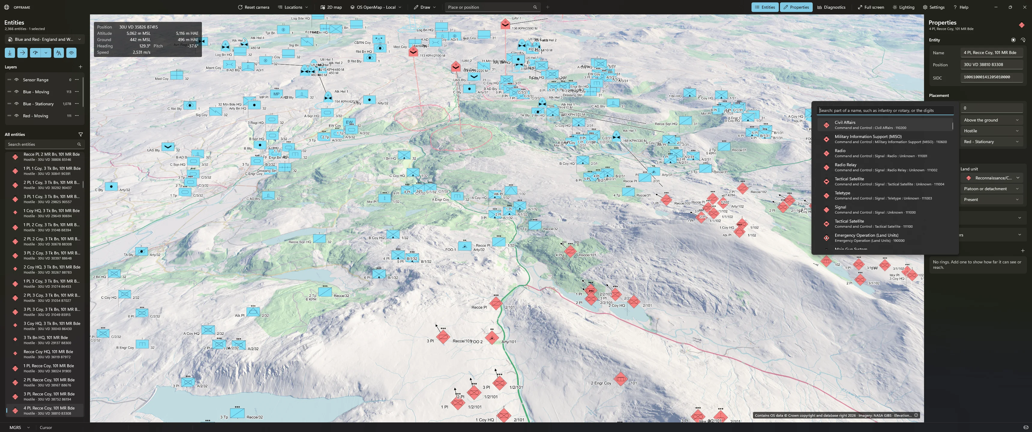
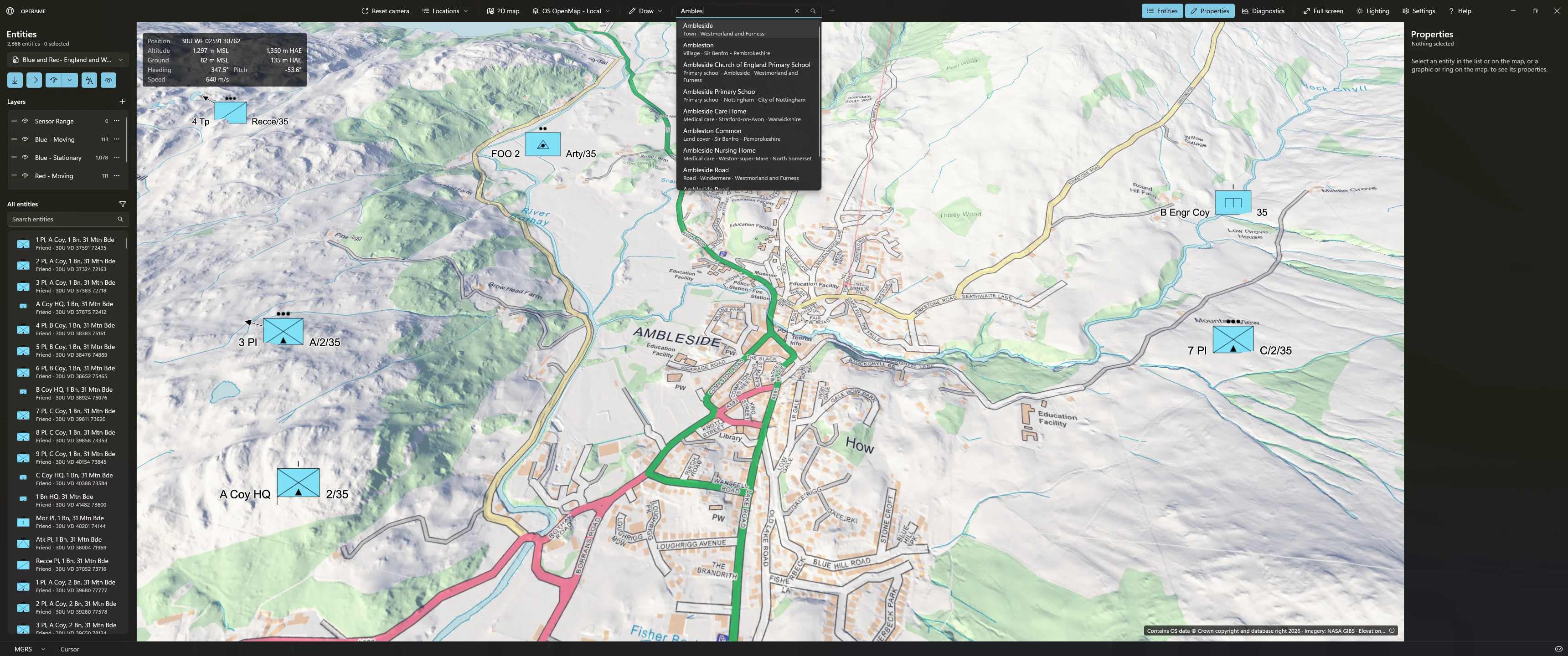
I have also added a search capability that allows the user to immediately jump to a known/named place. This is limited to the UK for now but the mechanism can be extended globally. There are approximately 50,000 UK geolocated places in this prototype - city names, towns, roads, that sort of thing. It is just a database of names and locations so easily extendable.
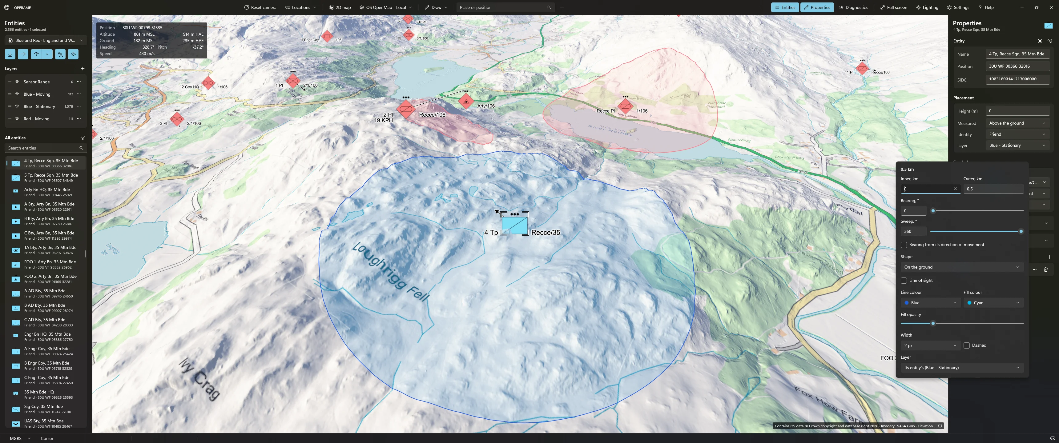
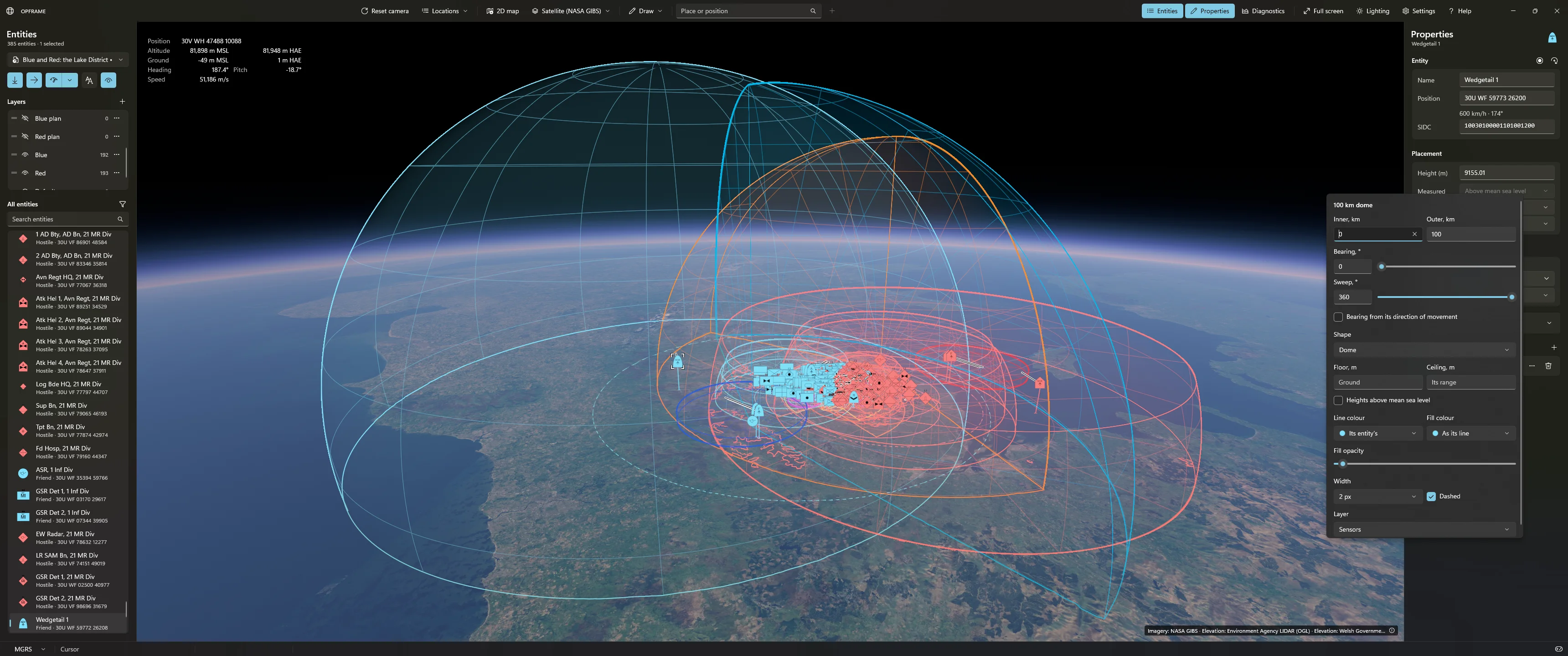
Overlay support has been added - although restricted to rings, cylinders and domes at present (representing things like sensor range, operational ceilings, etc,) with bearing and sweep modifiers. User created tactical overlays are to follow soon. Overlays can exist on different layers and, depending on their type, can drape over the underlying map/terrain or show their 3D boundaries.
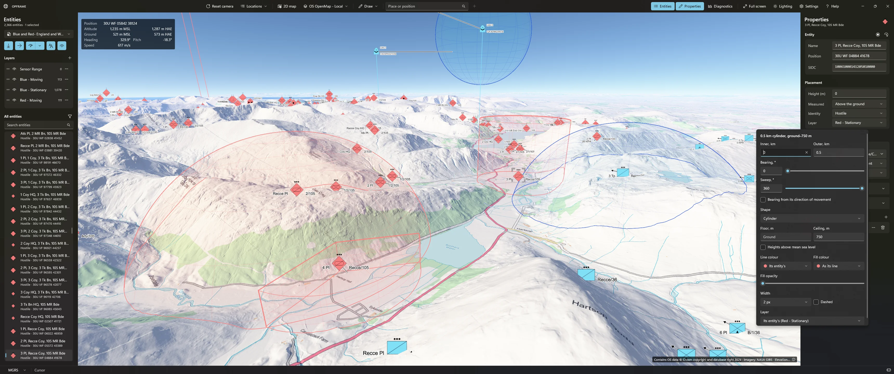
Or a bit further out...
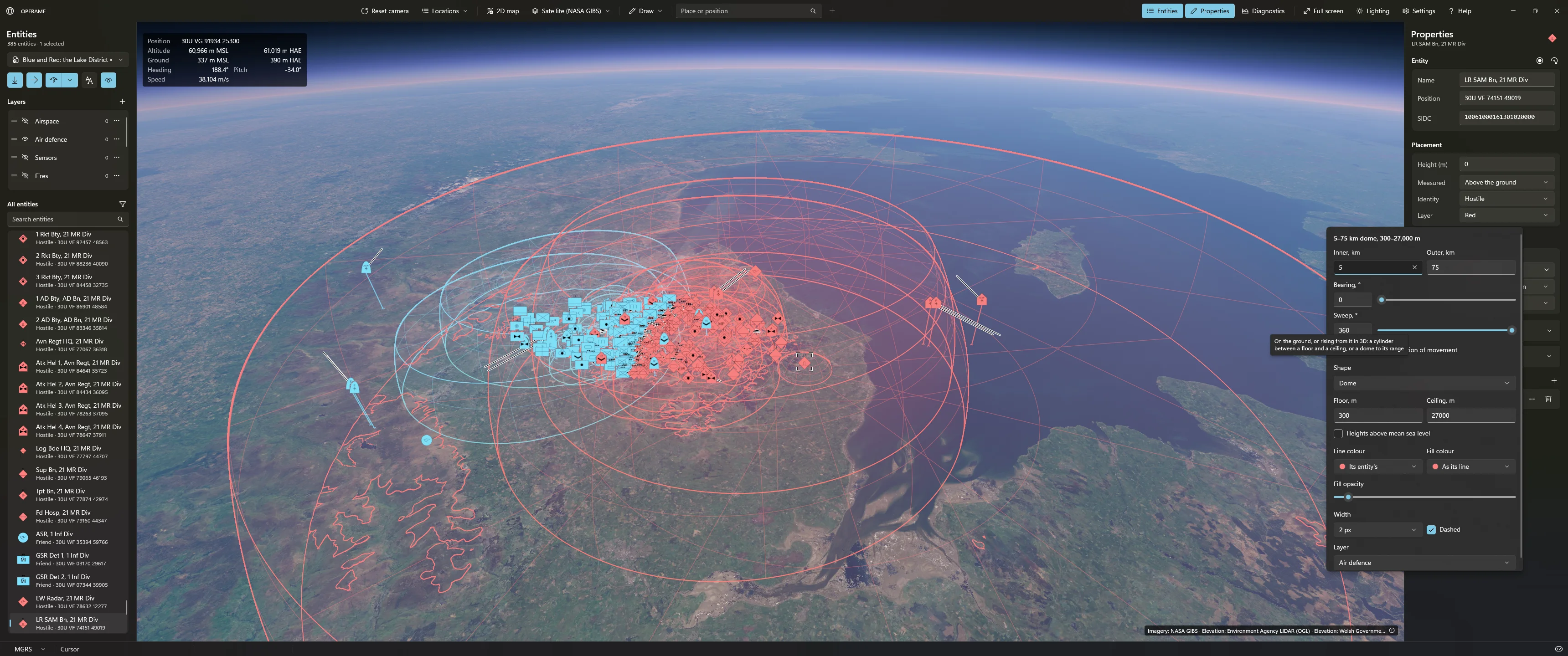
And closer again...
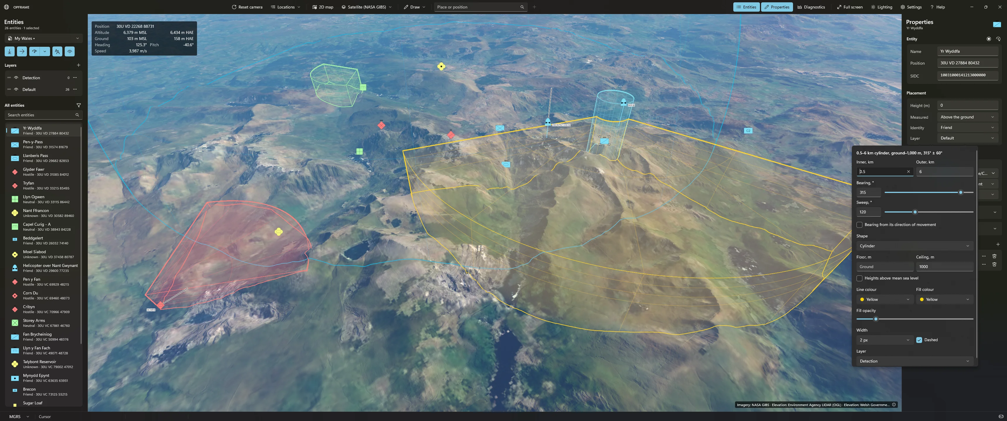
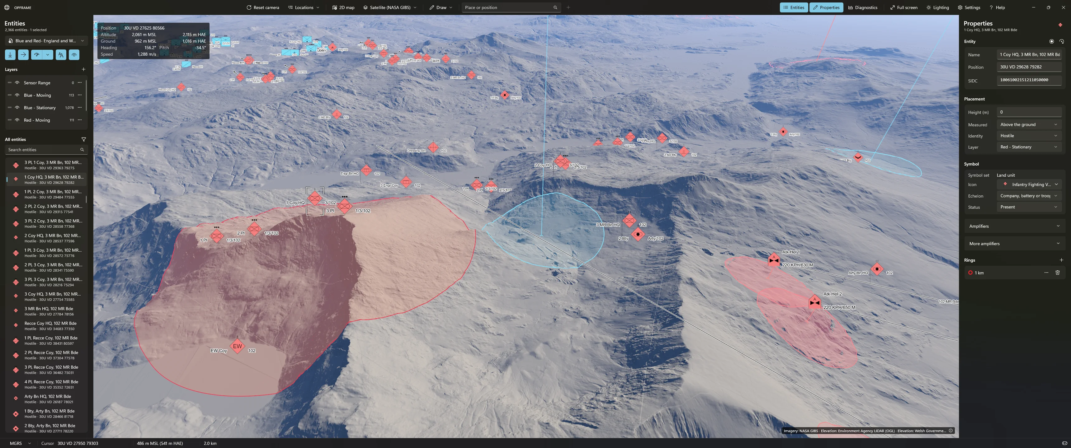
They look a lot more impressive in action than in static screenshots as they all move/adapt in real-time and are fully editable.
I'm currently working on a line-of-sight feature, entity laydown, improved editing capabilities, undo/redo, and have lots of other things planned too. This could turn into quite a project actually.
I just tarted it up with an intro and some captions. More professional, innit. Debatable.A few more updates on "Project: OPFRAME"...
I have refined the UI (and will continue to do so as more features are added). For example, "Layers" are now available. This means that symbols, overlays, etc. can be placed on different layers on top of the map/terrain and be enabled or disabled, or their rendering order changed. The rendering system implemented this layered behaviour already but I hadn't wired it through to the UI.
There is also a full search and filter capability for entities now, too; although this is not shown in any of the screenshots.
I have also added a search capability that allows the user to immediately jump to a known/named place. This is limited to the UK for now but the mechanism can be extended globally. There are approximately 50,000 UK geolocated places in this prototype - city names, towns, roads, that sort of thing. It is just a database of names and locations so easily extendable.
Overlay support has been added - although restricted to rings, cylinders and domes at present (representing things like sensor range, operational ceilings, etc,) with bearing and sweep modifiers. User created tactical overlays are to follow soon. Overlays can exist on different layers and, depending on their type, can drape over the underlying map/terrain or show their 3D boundaries.
Or a bit further out...
And closer again...
They look a lot more impressive in action than in static screenshots as they all move/adapt in real-time and are fully editable.
I'm currently working on a line-of-sight feature, entity laydown, improved editing capabilities, undo/redo, and have lots of other things planned too. This could turn into quite a project actually.

